Dr Gladys West
Dr Gladys West is a mathematician whose models of the shape of the Earth were integral to the development of the Global Positioning System (GPS).
In 1956, West began work as a computer programmer at the Naval Proving Ground in Dahlgren, Virginia, collecting satellite data and using it to calculate their exact position. She was only the second black woman employed there, and one of only four black employees.
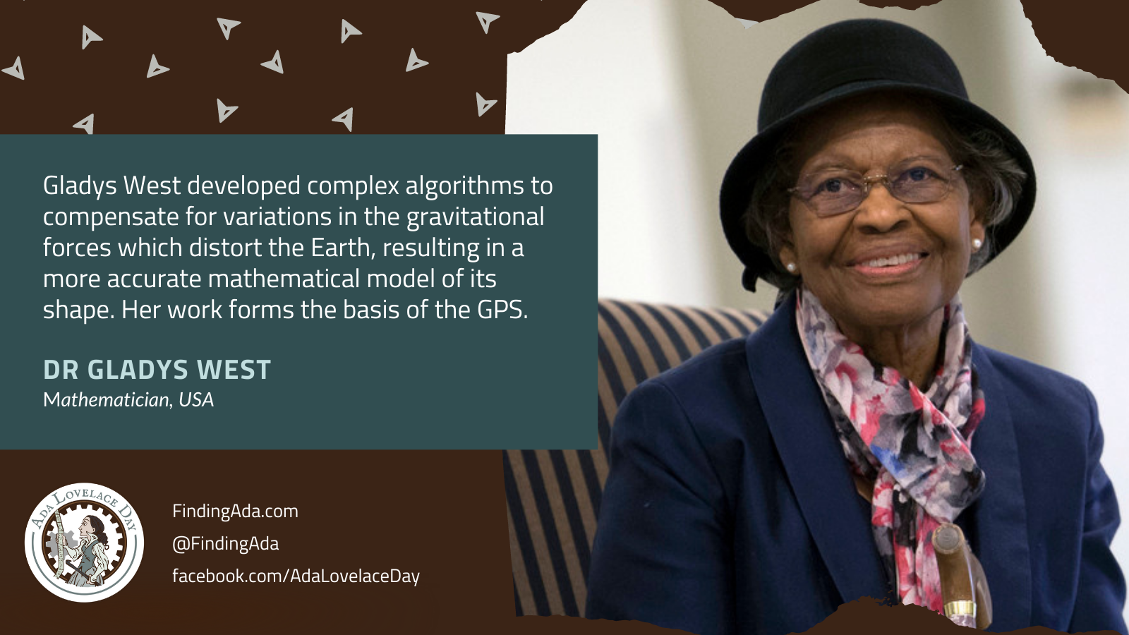
West worked on the data-processings systems used to analyse altimetry data from satellites such as GEOS 3. In 1978, she became the project manager for SEASAT, the first satellite that could remotely sense oceans, and used its data to measure ocean depths. Using an IBM 7030 Stretch computer, she developed complex algorithms to account for variations in gravitational, tidal and other forces that distort the shape of the Earth, also known as the geoid. Her work significantly improved the precision of calculations used to model the geoid.
In 1986, she published a technical report, Data Processing System Specifications for the Geosat Satellite Radar Altimeter, which outlined how to increase the accuracy when estimating geoid heights and vertical deflection, which are important aspects of satellite geodesy, or the use of satellites to measure the dimensions of the Earth. West’s models of the geoid formed the basis of GPS.
In 2000, she finished her PhD in public administration and policy affairs, at the age of 70. In 2021, her contributions to science were recognised by the UK’s Royal Academy of Engineering which awarded her the Prince Philip Medal, their highest individual honour.
Further reading
- Gladys West, Wikipedia
- Gladys West, NCWIT
- 100 Women: Gladys West – the ‘hidden figure’ of GPS, Amelia Butterly, BBC, 20 May 2018
- Mathematician Dr. Gladys West Inducted Into Air Force Pioneers Hall of Fame, Women You Should Know, 16 January 2019
- Dr. Gladys West: The “Hidden Figure” Who Pioneered GPS Technology, Katherine, A Mighty Girl, 23 May 2019
- Meet Dr. Gladys West, the hidden figure behind your phone’s GPS, Lauren Mackenzie Reynolds, Massive Science, 25 December 2019
- Gladys Mae West (1930- ), Bethany Johnson, Black Past, 30 July 2020
- Gladys West: the hidden figure who helped invent GPS, Aamna Mohdin, The Guardian, 19 November 2020
- Black History: Meet Dr. Gladys West, The Black Woman Behind GPS Technology, Stephanie Ogbogu, AfroTech, 1 February 2021
- GPS Only Exists Because of Two People: Albert Einstein And Gladys West, Ethan Siegel, Forbes, 18 February 2021
- Hidden Figure No Longer: The Contributions of Gladys West, Marcia Wendorf, Interesting Engineering, 25 March 2021
- ‘Hidden Figure’ whose mathematical modelling enabled GPS becomes first woman to win the Prince Philip Medal, Royal Academy of Engineering, 10 June 2021